


 Arguments


Linking Extreme Weather and Global Warming
Posted on 18 June 2011 by Anne-Marie Blackburn
Whenever there is an extreme weather event, such as a flood or drought, people ask whether that event was caused by global warming. Unfortunately, there is no straightforward answer to this question. Weather is highly variable and extreme weather events have always happened. Detecting trends takes time, particularly when observational records are rare or even missing in certain regions. An increase in extreme weather is expected with global warming because rising temperatures affect weather parameters in several ways. Changes in the frequency of extreme events coinciding with global warming have already been observed, and there is increasing evidence that some of these changes are caused by the impacts of human activities on the climate.
How global warming affects weather parameters
Rising temperatures can have several effects on the factors involved in weather. For example:
-
They increase the rate of evapotranspiration, which is the total evaporation of water from soil, plants and water bodies. This can have a direct effect on the fequency and intensity of droughts.
-
A warmer atmosphere can hold more water vapour. The atmosphere now holds 4% more water vapour than it did 40 years ago as a result of increasing temperatures. This increases the risk of extreme rainfall events.
-
Changes in sea-surface temperatures (SSTs) also have an effect by bringing about associated changes in atmospheric circulation and precipitation. This has been implicated in some droughts, particularly in the tropics.
These changes don't automatically generate extreme weather events but they change the odds that such events will take place. It is equivalent to the loading of dice, leading to one side being heavier, so that a certain outcome becomes more likely. In the context of global warming, this means that rising temperatures increase the odds of extreme events occurring.
Changes in extreme weather events are already being observed
In the US, the Global Changes Research Program published a report in 2009 entitled Global Climate Change Impacts in the US. The National Climate Change chapter reports the following findings for recent decades:
-
Heavy rainfall events have increased both in frequency and in intensity by 20%, and are the main cause behind the increase in overall precipitation in the US. The Northeast and Midwest have seen the greatest increase in such events.
-
The frequency of drought has increased in areas such as the Southeast and the West, and decreased in other areas. Rising temperatures make droughts more severe and/or widespread, and also lead to the earlier melting of snowpacks, which can exacerbate problems in vulnerable areas.
-
Atlantic hurricanes have increased both in power and frequency, coinciding with warming oceans that provide energy to these storms. In the Eastern Pacific, there have been fewer but stronger hurricanes recently. More research is needed to better understand the extent to which other factors, such as atmospheric stability and circulation, affect hurricane development.
Similarly, Australia has seen the odds of both heavy rainfalls and droughts increase, and similar patterns are being observed worldwide, coinciding with rising temperatures over the past 50 years.
In conclusion, although it isn't possible to state that global warming is causing a particular extreme event, it is wrong to say that global warming has no effect on the weather. Rising air and sea temperatures have a number of effects on the water cycle, and this increases the odds for more extreme weather events.
NOTE: this is the Basic rebuttal to "Extreme weather isn't caused by global warming"


 0
0  0
0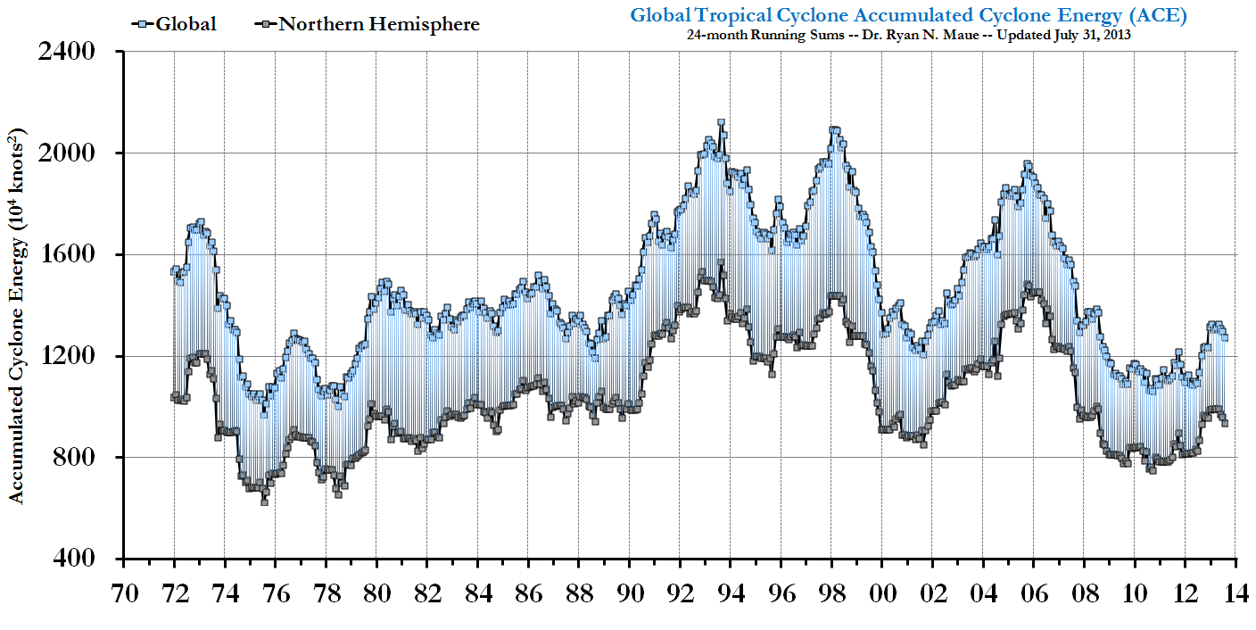
 [Source]
GISTEMP and NCDC shows that so far 2011 has been warmer than 2008 (another post la Nina year), and that global surface air temperature anomalies are firmly in positive territory. From the NCDC (same source as the above figure):
"The combined global land and ocean average surface temperature for January–May 2011 was the 12th warmest on record. The year-to-date period was 0.48°C (0.86°F) warmer than the 20th century average."
And a reminder that 2010 tied 2005 for the warmest year on record globally, despite the prolonged solar minimum and despite the development of one of the strongest La Nina's in recent decades.
And one last reminder, this is about long-term trends, but you know that do you not? ;) So please do not focus on individual years or short time frames (< ~20 years).
Check back in 2012 when the temperatures spike even higher. But again, this is about long-term trends and where we are potentially headed.
[Source]
GISTEMP and NCDC shows that so far 2011 has been warmer than 2008 (another post la Nina year), and that global surface air temperature anomalies are firmly in positive territory. From the NCDC (same source as the above figure):
"The combined global land and ocean average surface temperature for January–May 2011 was the 12th warmest on record. The year-to-date period was 0.48°C (0.86°F) warmer than the 20th century average."
And a reminder that 2010 tied 2005 for the warmest year on record globally, despite the prolonged solar minimum and despite the development of one of the strongest La Nina's in recent decades.
And one last reminder, this is about long-term trends, but you know that do you not? ;) So please do not focus on individual years or short time frames (< ~20 years).
Check back in 2012 when the temperatures spike even higher. But again, this is about long-term trends and where we are potentially headed.
 The consequence of that has been that while floods in SWWA have almost entirely disappeared, drought has become effectively a permanent condition.
 Moving from a situation in which you have either a drouht or a flood every three to five years into a situation in which you have drought in four out of five years represents a decrease in variability in the rainfall (which will show up in a detrended graph), but the drying will not; and itself results in a significant increase in extreme conditions relative to the twentieth century average.
 ignoring the two volcanoes. But that cooling seems to have leveled off.


Comments